Mt Pinatubo

?
  • Created by: Ice_Fox
  • Created on: 26-04-22 15:56
Country
Philippines
1 of 22
Date
June 1991
2 of 22
Describe the Philippines
(population, location, economy...etc)
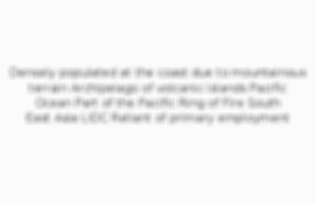
Densely populated at the coast due to mountainous terrain
Archipelago of volcanic islands
Pacific Ocean
Part of the Pacific Ring of Fire
South East Asia
LIDC
Reliant of primary employment
3 of 22
Mountain range Mt Pinatubo is part of
Zambales
4 of 22
Plate boundary
Subduction of the Philippine oceanic plate beneath the Eurasian continental plate
(which creates the Philippine trench + the island arc of the Philippines)
5 of 22
Type of eruption/volcano and why
Strato-volcano
Explosive with more viscous acidic lava
On a subduction plate boundary so pressure builds up
6 of 22
Height of the ash cloud
Up to 30km
7 of 22
Speed of pyroclastic flows
80 km/h
8 of 22
Depth of ash in the immediate area
Approx. 50cm
9 of 22
Deaths
Approx. 700
10 of 22
Buildings collapsed
(+why)
200,000
Weight of ash + lahars
11 of 22
Jobs lost
(+why)
At least 650,000
Destruction of farms, shops and factories
12 of 22
Effect of ash on farming
Unable to grow crops for 2 years (food shortages)
Long term, ash made soil fertile, so higher productivity
13 of 22
Animals died
Over 1 million
14 of 22
Effect of ash cloud on temperature
(+why)
Ash blocked sunlight
Sulphuric acid aerosols reflected sunlight (formed by the oxidation of sulphur dioxide)
Global dimming
Volcanic winter
UK estimated 0.5'c cooler
Long term, more greenhouse gases
15 of 22
Estimated cost
US$10 billion
16 of 22
Number of local residents who evacuated
Approx. 20,000
17 of 22
Number of US army people evacuated from airbase
(+name of airbase)
15,000
Clark airbase
18 of 22
Why did some people not evacuate?
False alarms in the past
To protect their homes
Indigenous Filipino Aeta people didn't leave the mountain
19 of 22
Cost of damage to planes
US$100 million
20 of 22
Examples of NGOs who provided emergency aid
Oxfam
Red Cross
21 of 22
Who monitors the volcano?
United States Geological Society
(USGS)
Philippine Institute of Volcanology+Seismology
(PHIVOLCS)
22 of 22

Other cards in this set

Card 2

Front

Date

Back

June 1991

Card 3

Front

Describe the Philippines
(population, location, economy...etc)

Back

Preview of the front of card 3

Card 4

Front

Mountain range Mt Pinatubo is part of

Back

Preview of the front of card 4

Card 5

Front

Plate boundary

Back

Preview of the front of card 5
View more cards

Comments

No comments have yet been made

Similar Geography resources:

See all Geography resources »See all Plate tectonics resources »