- 7000+ Islands - 3rd most at risk country WRI 2015 - 52.5% per person - HDI of 0.68 (medium) - 2016 population: 103.3m - Population density: 332 km2 - 555 majore hazards beteen 1960-2015 - 10 hazards per year - Annual damage cost = 0.5% GDP
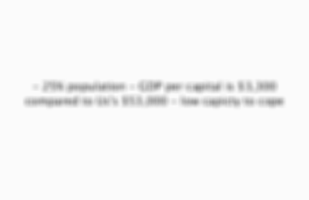
- 25% population - GDP per capital is $3,300 compared to Us's $53,000 - low capicty to cope
4 of 14
Inadequate buildings
- 1/3 Tacloban's home shad wooden exterior walls - 1/7 had grass roofs
5 of 14
Habitation of the coasts
- Migration of poor to the coast - Rapidly constructed buildings & inadequate evacuation plans - 60% of people live in low lying coastal zones
6 of 14
Densely populated
- Capital of Manila = 71,263 km2 - 74% population exposed to x2+ hazards - 2+/5 live in a city of 100,000+ vulnerable to storms - Tacloban nearly tripled from 76,000 to 221,000 in 40 years
7 of 14
Deforestaion
- Landslide disaster risk has increased - Upland areas for agriculture
8 of 14
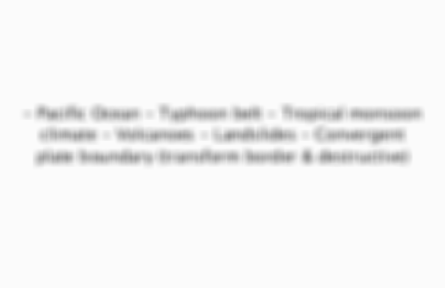
Pacific Ocean
- North & East coast - Pacific ring of fire = most seismically active area - Highest tsunami risk
9 of 14
East Asian Typhoon belt
- Affected by 15 typhoons per year - Actually struck by 6-9 per year - Increases risk of flooding & landslides
10 of 14
Volcanoes
- 22/47 active - 30% live within 30km of a volcano
11 of 14
Lanslides
- Combination of steep topography, high levels of deforestation and high rainfall
12 of 14
Convergent plate boundary
- The subduction of Philippines & Sundra plate under the Eurasian one - the center of the archipelago is subject to the large strike-slip Philippine Fault Zone - 60% land exposed to multiple hazards - Several micro-plates squeezed between
13 of 14
Examples of interactions between tectonic & hydrometeorological hazards:

Comments
No comments have yet been made