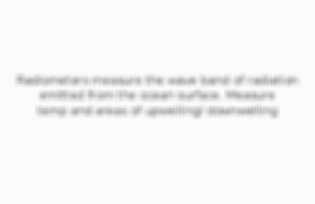
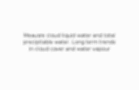
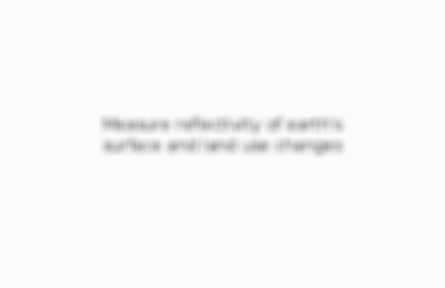
Remote sensing: monitoring changes to the water and carbon cycle 0.0 / 5 ? GeographyEarth Life Support SystemsA2/A-levelOCR Created by: CLC1802Created on: 19-04-18 14:40 Arctic sea ice Measure microwave activity radiated from earth's surface. Compare images from over time 1 of 7 Ice caps and glaciers Measures surface height of glacier/ ice using laser. Shows changes. 2 of 7 Sea surface temperatures Radiometers measure the wave band of radiation emitted from the ocean surface. Measure temp and areas of upwelling/ downwelling 3 of 7 Water vapour Meausre cloud liquid water and total precipitable water. Long term trends in cloud cover and water vapour 4 of 7 Deforestation Measure reflectivity of earth's surface and land use changes 5 of 7 Atmospheric CO2 New satellite measurements from NASA. Measures the effectiveness of absorption of CO2 by plants. 6 of 7 Primary production in oceans Measure net primary production in oceans and on land. 7 of 7
The importance of research and monitoring techniques to identify and record changes to the global water and carbon cycles; reasons why this data is gathered. 0.0 / 5
Revision PPT for Plate Tectonics and Associated Hazards 5.0 / 5 based on 1 rating Teacher recommended
Comments
No comments have yet been made