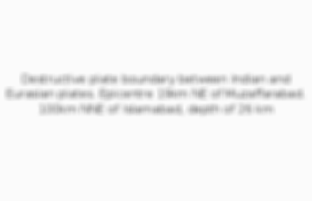
Destructive plate boundary between Indian and Eurasian plates. Epicentre 19km NE of Muzaffarabad. 100km NNE of Islamabad, depth of 26 km
3 of 15
High exposure
Population density of 115 per km^2
4 of 15
High vulnerability
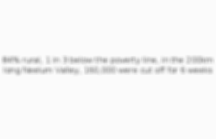
84% rural, 1 in 3 below the poverty line, in the 200km long Neelum Valley, 160,000 were cut off for 6 weeks
5 of 15
Death toll
75,000
6 of 15
Injured
138,000
7 of 15
Displaced
3.5 million
8 of 15
Snowline
400,000 live above the snowline - most made homeless and had to live in -15C conditions
9 of 15
Buildings
In Muzaffarabad, 50% of buildings were destroyed
10 of 15
Agriculture
80% crops, 50% arable land and 100,000 cattle destroyed
11 of 15
Cost
$5 billion
12 of 15
Event - schools
EQ resistant schoola built by the Central Asia Institute in Azad Kashmir in November 2006
13 of 15
Aid
$5.4 billion in international aid. US and GB flew in helicopters to give aid. However, aid was slow, mostly in early 2006. Survivors had no heating and insufficient food by December 2005. 2 million used food aid and 1.7 million used shelters
14 of 15
Loss - rebuild
Earthquake Rehabilitation and Reconstruction Authority organised the reconstruction. Due to a lack of funding, construction techniques have not improved. The ERRA spent money on luxurious non-developmental construction projects.

Comments
No comments have yet been made