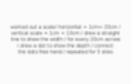
justify the method of data collection
variable on the BM / 5 sites means you can see the rate of change / same method at each site means its reliable / compare to other variables / took average across the chanel so takes into account meanders / gives a number that can be analysed


Comments
No comments have yet been made