1. materials enters the rivers through WEATHERING and EROSION of the banks and river bed. 2. Eroded material in the river channel is called 'BED LOADED'
1 of 11
describe how a v- shaped valley is formed?
weathering of valley sides by wind, rain, ice- weakness, then sides collapse into river- Gravity, the vertical erosion material dragged down under force of gravity.
2 of 11
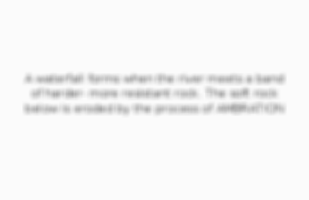
Describe briefly how a waterfall is formed?
A waterfall forms when the river meets a band of harder- more resistant rock. The soft rock below is eroded by the process of AMBRATION
3 of 11
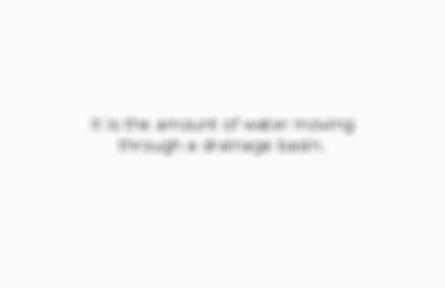
what is the hydrological?
it is the amount of water moving through a drainage basin.
4 of 11
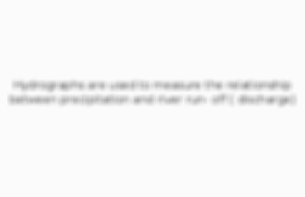
what does a hydrographs do?
Hydrographs are used to measure the relationship between precipitation and river run- off ( discharge)
5 of 11
what are physical factors that affect flood risk?
amount and type of precipitation, soil type+ rock type, vegetation cover
6 of 11
ho can we manage flood risk?
hard and soft engineering
7 of 11
Are we evenly spread?
The worlds populations is not DISTRIBUTED evenly.
8 of 11
What does urban mean?
A city area
9 of 11
What does urbanisation mean?
the growth of towns and city's
10 of 11
which parts of the world are most urbanised?
Many of the worlds largest and most rapidly growing cities are located in poorer countries.
11 of 11
Other cards in this set
Card 2
Front
describe how a v- shaped valley is formed?
Back
weathering of valley sides by wind, rain, ice- weakness, then sides collapse into river- Gravity, the vertical erosion material dragged down under force of gravity.
Comments
No comments have yet been made